Urumqi has special winter tourist map on display at winter expo


 |
|
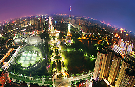
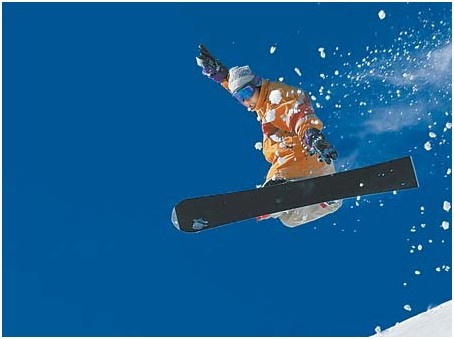
An example of the fun that the 8th Xinjiang Winter Tourism Industry Expo will promote(Photo/Urumqi Evening Post) |
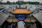
The 8th Xinjiang Winter Tourism Industry Expo, running from Nov 29 to Dec 1, in the city of Urumqi, Xinjiang Uygur autonomous region, will be showing guests a special winter tourist route map, made by water samples from all across the Xinjiang Uygur autonomous region, Urumqi Evening Post reported recently.
The head of the expo explained that water is a symbol of wealth and status so it makes sense to use samples as part of a tourist route map.
He went on to say that most tourists know very little about its abundant water resources, so this map is intended to help them understand the beauty of the region’s water, for example, its ice and snow.
Some of the samples on display came from a glacier on Kunlun Mountain, and the Yili River, in the far northwest, courtesy of local tourism bureaus.
The heads from Xinjiang’s 16 tourism bureaus will put the samples into a container for the tourists map at the opening ceremony of the expo, which is intended to promote winter tour packages, but also Silk Road and Taklimakan Desert adventure tours, as well as the local culture along the way.
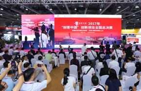
And, it will have other activities,such as a Xinjiang Tourism Industry Development Summit Forum,winter tourism resources promotion, winter Cosplay show, and tourism knowledge seminars.
Sponsors of this year’s event, which takes place in Urumqi, Xinjiang’s capital, in the Xinjiang International Exhibition Center, are the National Tourism Administration and Xinjiang government.
Edited by Roger Bradshaw