Geospatial congress a global success
Trade show gathers industry leaders from around the world to share and forge fresh links, Yuan Shenggao reports.
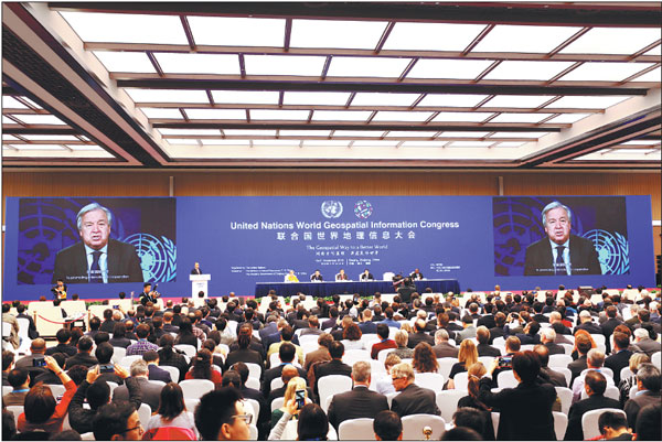
Geospatial information will play an important role in boosting the economy and improving people's lives, delegates agreed at the UN World Geospatial Information Congress held in Deqing, Zhejiang province, from Nov 19 to 21.
With the theme "The Geospatial Way to a Better World", the congress was attended by more than 1,000 delegates from more than 100 countries and regions.
Lu Hao, Minister of Natural Resources, read a message from Chinese Premier Li Keqiang and himself delivered a keynote speech at the opening ceremony
In his message, Premier Li said that geospatial information technologies have played a crucial role in recent socioeconomic developments, especially in combination with such emerging sectors as the mobile internet, big data and cloud computing.
He said the Chinese government will continue to support collaborations with the rest of the world in the geospatial information sector, to make greater contributions to promoting sustainable development and to create a better life for people around the globe.
UN Secretary-General Antonio Guterres recorded a video sending his congratulations to the event, and sharing his hope that the use of geospatial information will be conducive to building a safer and better world.
Liu Zhenmin, UN undersecretary for economic and social affairs, addressed those gathered during the event's opening ceremony, highlighting the role of geospatial information in sustainable development throughout the world.
The United Nations' 2030 Agenda for Sustainable Development has proposed 17 sustainable development goals for all nations.
Liu said the realization of the 17 goals will require a massive amount of data, including data relating to geospatial information.
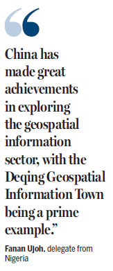
Fanan Ujoh, a delegate from Nigeria, said the African country is seeking cooperation with the wider world on sustainable development.
He said that by attending the congress he intends to learn about the experiences of other countries in developing the geospatial information industry, such as China, and to find opportunities for cooperation.
"China has made great achievements in exploring the geospatial information sector, with the Deqing Geospatial Information Town being a prime example," Ujoh said.
The industrial park dedicated to the geospatial information industry was founded in Deqing six years ago as a joint collaboration between the United Nations Statistics Division; the Chinese National Administration of Surveying, Mapping and Geoinformation; and the Zhejiang provincial government.
The town has now developed into one of the main hubs of China's geoinformation industry, with more than 200 companies engaged in the field.
"The geospatial congress has created a grand stage to showcase the development of the Deqing Geospatial Information Town," said Zhang Weizhong, head of the town's local government.
He added that the town will have higher goals for growth after forging further collaborations with industry players worldwide through the event.
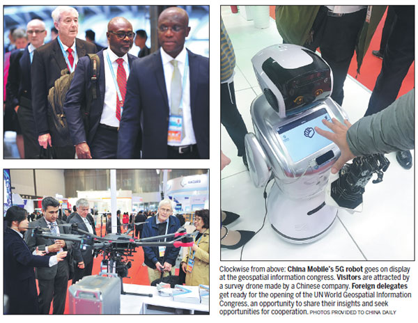
During the congress, a summit for business leaders from the geospatial information and related industries was held.
Agreements for a total of 63 projects were signed, involved in industries and technologies ranging from geospatial information, satellite navigation, remote sensing and positioning services to artificial intelligence, big data and the internet of things.
A geoinformation technologies and applications exhibition also kicked off on Monday and will carry on until Friday, showcasing the latest products and solutions from nearly 40 countries.
|
More than 1,000 delegates from over 100 countries and regions attend the UN World Geospatial Information Congress held in Deqing, Zhejiang province from Monday to Wednesday.Provided To China Daily |
(China Daily 11/22/2018 page7)