Remote-sensing satellite center to further China's socioeconomic growth

The Chinese Academy of Sciences launched the National Engineering Research Center for Remote Sensing Satellite Applications in Beijing on Tuesday, with goals of making more breakthroughs in core technologies, training quality engineering talent and harnessing the potential of satellite technologies to support the nation's major strategic needs.
These needs range from China achieving its carbon dioxide emission peak and carbon neutrality goals to managing smart cities and natural resources, said Gu Xingfa, the director of the researcher center.
"Remote sensing has become an essential technology for a country's development and administration," he added.
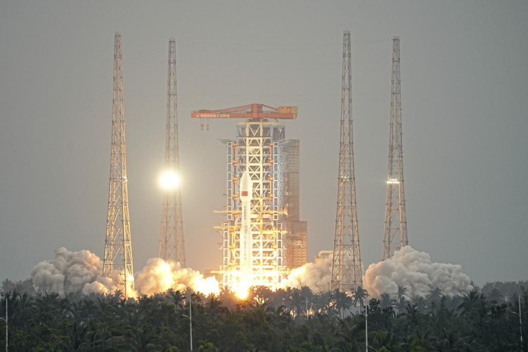
China currently has more than 300 satellites in orbit, second only to the United States. The performance and quality of Chinese satellites are catching up, some of which are even surpassing their Western counterparts, Gu said.
China's remote sensing satellite industry is booming fast and has served many industries.
"It is now an indispensable tool for socioeconomic development," he said.
However, managing the massive amount of data and user needs is a major challenge. To that end, the center has launched a new service platform by analyzing about 140 fields in which remote-sensing satellites are needed.
The platform will provide 24 remote-sensing data products ranging from vegetation to atmospheric data that will be useful in environmental protection, rural development, resource management, disaster migration and other fields, Gu said.
- China seeks public feedback on draft rules for anthropomorphic AI services
- China's top legislature concludes standing committee session
- China adopts revised Civil Aviation Law
- China launches satellite to aid in early extreme weather detection
- Report on mining accident that killed 6 suggests accountability for 42 individuals
- Law aimed at bolstering standard Chinese language education passed


