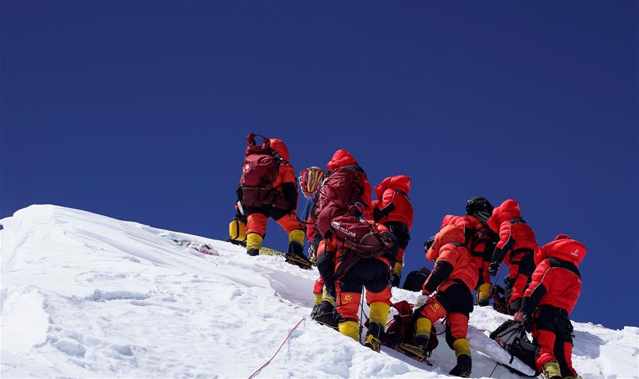
Chinese surveying team reaches Mount Qomolangma summit
Share - WeChat


The surveyors will use a global navigation satellite system receiver, a gravimeter, snow-depth radar and a meteorological measuring instrument to determine the height of Qomolangma.
Innovations applied in the latest survey include the application of the BeiDou-3 Navigation Satellite System, domestic surveying equipment, the airborne gravimeter and 3D interactive virtual reality.


