


China releases 30-meter-resolution global forest cover map
Xinhua |
Updated: 2019-11-20 15:27


Share


Share - WeChat


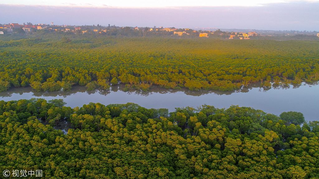
BEIJING - China has achieved a 30-meter-resolution Global Forest Cover Map (GFCM) of 2018 for forest management, according to the Aerospace Information Research Institute of the Chinese Academy of Sciences on Wednesday.
The researchers constructed a high-resolution forest and non-forest sample database based on satellite remote sensing data. They realized automatic information extraction of global forest cover by using machine learning and big data analysis.
The overall accuracy of the GFCM is higher than 90 percent, verified by random sampling on a global scale.
The GFCM can provide data support for forest management and utilization, as well as cope with global change.


- Rescue teams evacuate 130 residents after flooding in Guangxi
- Rain-kissed water lilies bloom in Dali's Xizhou ancient town
- State-owned drone operator aids overnight flood rescue in Guangxi
- China deploys measures against typhoons, flood risks
- Snakes escape flooded farms after heavy rainfall in Guangxi's Hengzhou
- Nanning deploys emergency medical services for residents amid flooding


