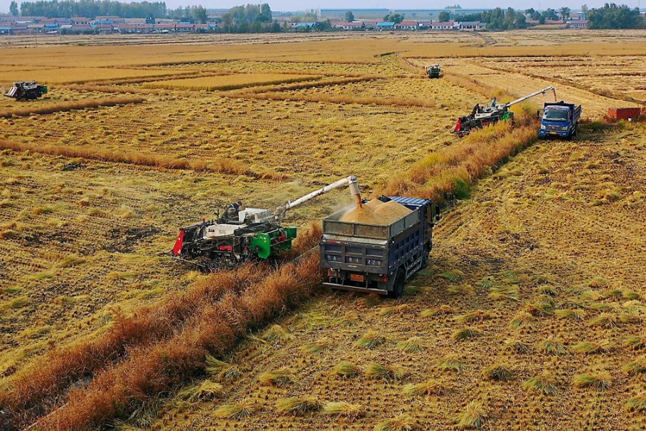
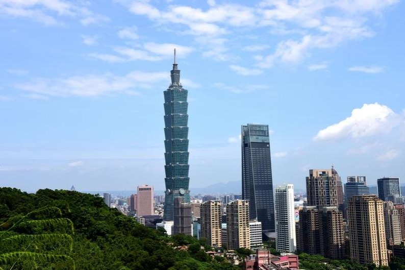
High-resolution satellite imagery used in China's land survey


BEIJING -- Satellite remote sensing imagery with high resolution has been used in China's ongoing third national land survey, said officials Friday.
Surveyors have used satellite imagery with a resolution of one meter as base maps, which can distinguish objects that measure tens of square meters on the ground.
If county-level surveyors in field investigations find the land status is inconsistent with that on the satellite images, they will take photographs with location and azimuth information, for later verification by superior departments.
The main task of the survey, starting from October 2017, is to make a comprehensive record of China's land resources and utilization status, and to improve national land data, said Chen Chenzhao, deputy chief inspector of China's Ministry of Natural Resources, at a press conference held by the State Council Information Office.
The use of satellite remote sensing technology has improved the accuracy of the survey, which is expected to be completed by 2020, said Chen.
China's first national land survey ended in 1996 and the second was conducted between 2007 and 2009.
- Expats discover ancient architecture in Shanxi
- Logo contest for 2026 China-Africa Year of People-to-People Exchanges kicks off
- Chinese premier calls for reform in standardization work to boost high-quality development
- Xi congratulates China Agricultural University on 120th founding anniversary
- Drones make cleaning of high-rises safer, quicker
- Brain cancer drug cleared for phase III clinical trials


