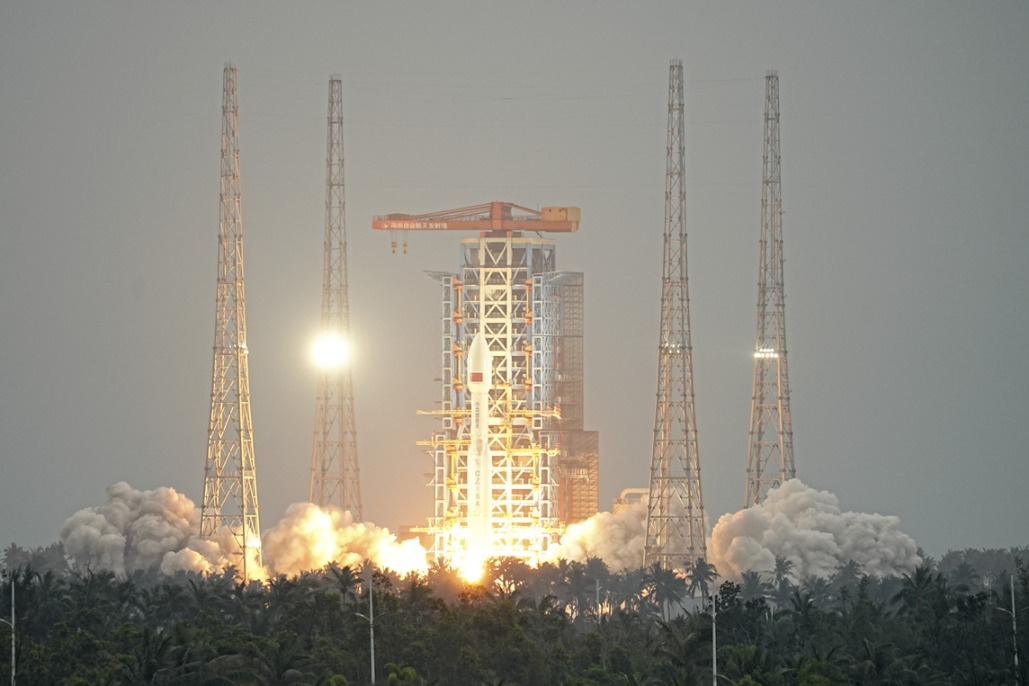
China plans remote sensing satellites over South China Sea


SANYA -- China's southern island province of Hainan has unveiled a satellite launch plan to assist remote sensing coverage over the South China Sea.
The Sanyan Institute of Remote Sensing said the mission would start in 2019, when it would launch three optical satellites.
After that, it will add another three optical satellites, two hyperspectral satellites and two SAR satellites to complete the Satellite Constellation Program by 2021, for conducting round-the-clock remote-sensing over the tropical sea area.
Yang Tianliang, director of the institute, said that the network was calculated to broadly cover the area between 30 degrees north and south of the equator.
Yang said the program would provide scientific support for China's initiative of the 21st Century Maritime Silk Road and emergency response efforts at sea.


- China launches satellite to aid in early extreme weather detection
- Report on mining accident that killed 6 suggests accountability for 42 individuals
- Law aimed at bolstering standard Chinese language education passed
- Connecting cities, changing lives
- World's longest expressway tunnel opens to traffic
- Taiwan lawmakers vote to pass motion to impeach Lai