WORLD> Global General

|
WORLD> Global General
|
|
Related
Ghost Alps revealed in Antarctica after 14m yrs
(Agencies)
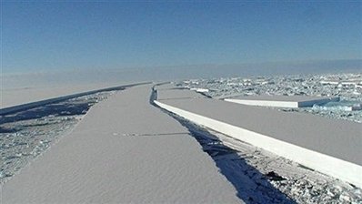
Updated: 2009-06-04 13:10 PARIS - Millions of years ago, rivers ran in Antarctica through craggy mountain valleys that were strangely similar to the European Alps of today, Chinese and British scientists reported on Wednesday. In a study published by the British journal Nature, they gave a snapshot of terrain that for aeons has lain hidden beneath ice up to several kilometres (nearly two miles) thick.
The imaging comes from a gruelling effort by Chinese glaciologists to probe the mysterious realm beneath the East Antarctic heights, one of the most forbidding places in the world. In 2004-5 and again in 2007-8, the team hauled deep-penetrating ground radar around a box-shaped sector, measuring 30 kilometers (18 miles) by 30 kilometres, at a point called Dome Argus, or Dome A. Dome A lies at 4,093 metres (13,302 feet) above sea level and has an average annual temperature of -58.4 degrees Celsius (-73 degrees Fahrenheit). Beneath it is an ice sheet between 1,649 and 3,135 metres thick that smothers the Gamburtsev mountains, a range named after a Soviet geophysicist, Grigoriy Gamburtsev, who detected the peaks in 1958.
Later, these valleys were gouged and deepened by glaciers. "The landscape has probably been preserved beneath the ice sheet for around 14 million years," says the paper. The research chimes with deep-sea isotope records that give insights into how Earth got its polar caps. These suggest there was a period of global cooling, called the Eocene, between 52 and 34 million years ago. Then came two progressively sharper periods of cooling, linked to a fall in levels of naturally-produced greenhouse gases in the atmosphere - the same gases that, man-made, are today blamed for warming. Changes in Earth's orbit and the formation of the frigid current that flows around Antarctica contributed to the process of placing the continent in a deep freeze. The first of the big chills came at the start of what is called the Oligocene period, around 34 million years ago, when glaciers first started to form in Antarctica. The Gamburtsev mountains, because of their high altitude, were probably one of the places where glaciation first began, the scientists believe. At the time, there would have been a mean summer temperature of three degrees C (37 degrees F), they estimate. The second cooling spurt came some 14 million years ago, characterised by a plunge in temperatures of around six to seven degrees C (10.8-12.6 degrees F), reaching up to eight degrees C (14.4 degrees F) in the Transantarctic Mountains, the spine that divides East from West Antarctica. |