Hand-drawn geology book born in Yunnan
By Qiu Guizhen ( chinadaily.com.cn )
Updated: 2016-11-24
A scientific book describing Yunnan's geology and illustrated by hand has recently been published.
The book is a result of cooperation between a geologist and a well-known cartoonist from Yunnan province.
 |
|
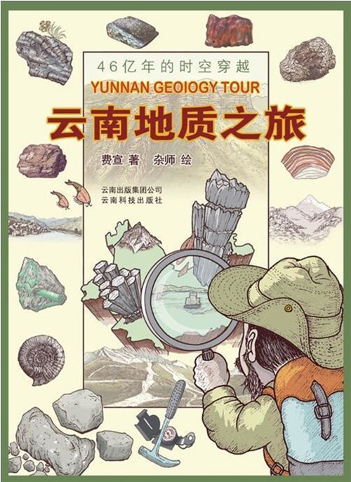
Interest in Yunnan strengthened when the hand-drawn geological material, the first of its kind for Yunnan, came out. [Photo/yunnan.cn] |
The idea of creating a book like this arose in 2006 when the two creators took an adventurous trip to the Sahara Desert. Once back in Yunnan they began to consider their home terrain.
"We realized how little we knew about the land we were standing on when we surprisingly found that the world's highest freshwater lake is located right here in Yunnan province," said Fei Xuan, the geologist.
He added that the land is barely known by its occupants. Few people know why Yunnan is called "red land" or why three parallel rivers run across it for over 170-kilometers.
Fei finished the first draft of the book after two years of diligently collecting and managing information from his hometown.
Later a short conversation between the geologist and cartoonist Li Chuanzhi inspired the idea of adding some pictures to the book.
Li did over 300 paintings for the book, successfully depicting the geological knowledge they wanted to convey.
"This is neither a boring textbook nor a simple fairy story, but a vivid scientific text presenting a clear view for people who want to learn more about the historic and also modernized Yunnan," a reader of the book said.
"People will love their homeland more if they know its past," he added.
Edited by Peter Nordlinger