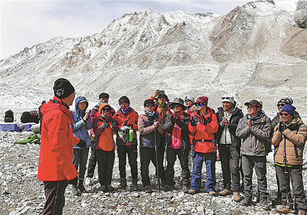
Challenging expedition results in a mountain of data


Gao Tanguang, an associate professor at the College of Earth and Environmental Sciences, Lanzhou University, says it was a long night, as the low-oxygen environment made it difficult to fall asleep.
When the day broke, their sleeping bags were all soaked with condensation in the freezing tent.
"We couldn't air the sleeping bags outside, because they would become 'ice bags' in the extremely cold conditions," he says.
Gao, who was responsible for operating the drone to scan the glaciers, says that the cold temperature at such a high altitude often rendered his remote control inoperable, causing his drone to be grounded.
"I had to warm the remote with my body to ensure its normal operation," he says.
Despite all the difficulties, the squad members say their field investigations were valuable.
Based on the scanned data, the research squad will draw a 3D digital elevation map of glaciers in the Mount Qomolangma area, and then compare it with the data collected in the past, including remote sensing data, to get the trend and pattern of glacier change. The scientific researchers will also further analyze the ice and snow samples to observe the chemicals in the glaciers.
"Through the study of glacier changes and glacier air pollutants, we can see the impact of global and regional human activities in the Qomolangma area," Kang says.