Radar map peels back secrets of Martian north pole
Updated: 2008-05-16 10:14
WASHINGTON - A radar map of the Martian north pole reveals a four-layer ice structure laid down over a period of five million years, on top of sedimentary rocks hundreds of kilometers thick, scientists said Thursday in a report.
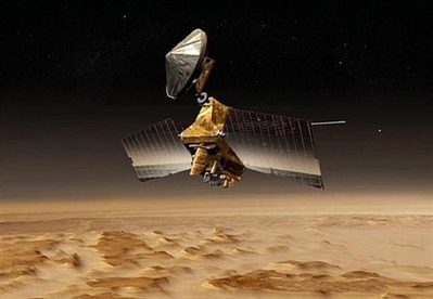 This artist's concept released by NASA's Jet Propulsion Laboratory shows NASA's Mars Reconnaissance Orbiter over the red planet. [Agencies] |
The data provided by NASA's Mars Reconnaissance Orbiter provides new insight into the formation of the Martian ice cap and the "thermal history" of the red planet, said Roger Phillips of Southwest Research Institute in Boulder, Colorado.
Researchers found the polar cap is formed by up to four layers of ice rich in sand and dust, separated by clearer sheets of ice, which they believe is the result of variations in Mars' orbit over the years. One Martian year equals 1.88 Earth years.
The ice layers were accumulated over a period of about five million Earth years, said the scientists in a paper published in Friday's issue of Science.
The radar images also show that the underlying sedimentary rocks have not been deformed by the enormous weight of the ice cap, suggesting the Martian crust in that place is more than 300 kilometers thick.
The radar mapping of the polar cap also allow scientists to track the movement of dust over the Martian landscape over the years, the researchers said.
The Martian north pole is part of a vast sedimentary plain built up over more than three billion years from ice erosion deposits, dust, volcanic lava and other sundry materials.
|
||
|
||

|
|
|
|