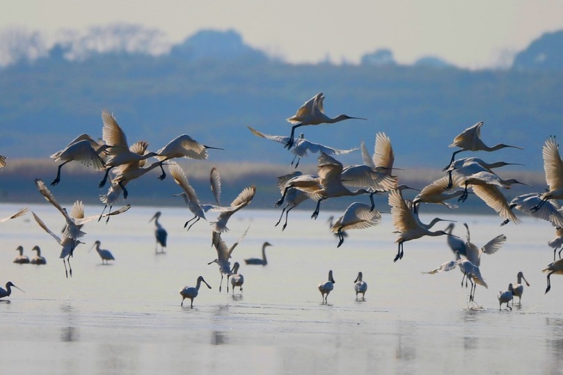
Chinese researchers map East Asia wetlands in high resolution


BEIJING -- Chinese researchers recently produced a high resolution wetland map of East Asia, shedding new light on wetland conservation and sustainable development.
The study has been published in the journal Remote Sensing of Environment.
In this study, the researchers developed a novel two-stage classification for continental-scale wetland mapping and generated the first and up-to-date 10-meter-resolution wetland map of East Asia.
The map, with three broad categories and 12 sub-categories in East Asia, achieved over 88 percent overall accuracy, said the study.
According to the map, the total wetland area in this region in 2021 was over 481,800 square kilometers, mainly distributed in northeast China and the Qinghai-Tibet Plateau. China has more than 88 percent of the total wetland resources in East Asia, followed by Mongolia.
The map will have great applications and will benefit wetland conservation and policy management, said Wang Ming, the first author of the paper and a researcher at the Northeast Institute of Geography and Agroecology under the Chinese Academy of Sciences.
"It will be a critical support for evaluating the implementation of wetland-related international conventions at country and continental scale in East Asia," Wang added.


- Expats explore roots of Chinese civilization in Hangzhou
- Scientific community, netizens pay tribute to late Nobel laureate Yang Chen-Ning
- Ancient Confucian ideas inspire today
- US professor eyes retirement in Wuyi Mountains
- Guyuan promotion conference enhances Ningxia and Jiangsu ties
- ECNU's intl student program benefits mother and daughter from Vietnam