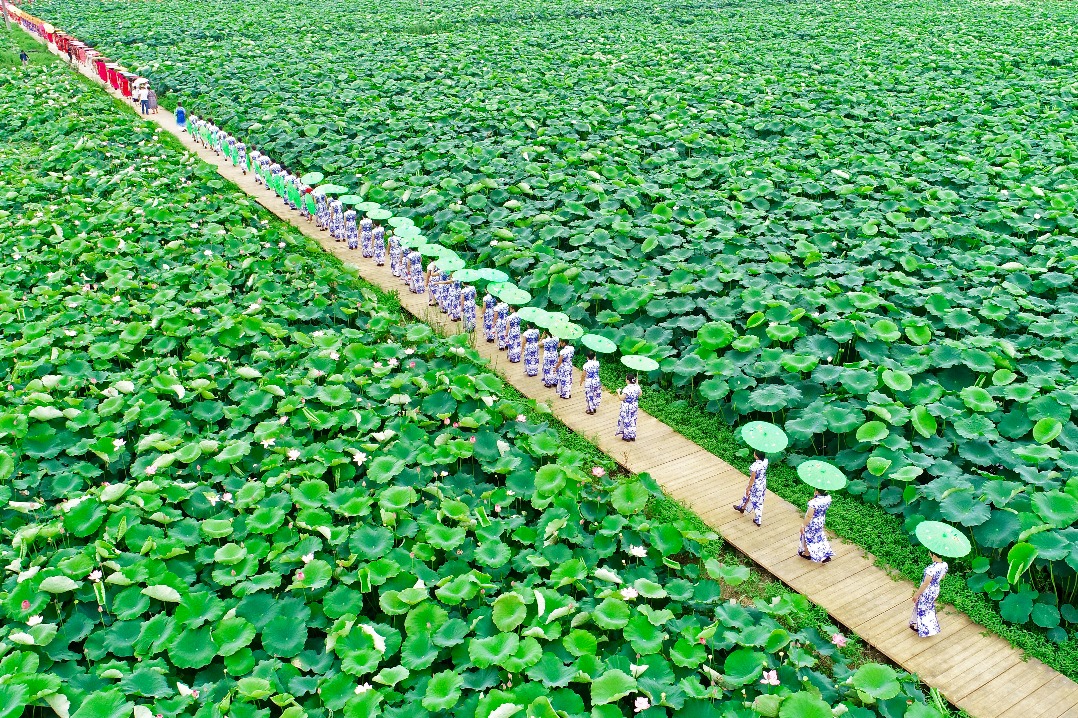
Grassroots movements


The percentage of days with good air quality in county-level cities and above in the province reached 97 percent last year, a fact that local officials believe is linked to wider forest cover.
The area of rocky desert land fell 18.3 percent from 3.02 million hectares in 2011 to 2.47 million hectares in 2016. Recovery of the vegetation contributed around 67 percent to the reduction, Zhang Fujie, deputy director general of the Guizhou forestry bureau, told a news conference in February.
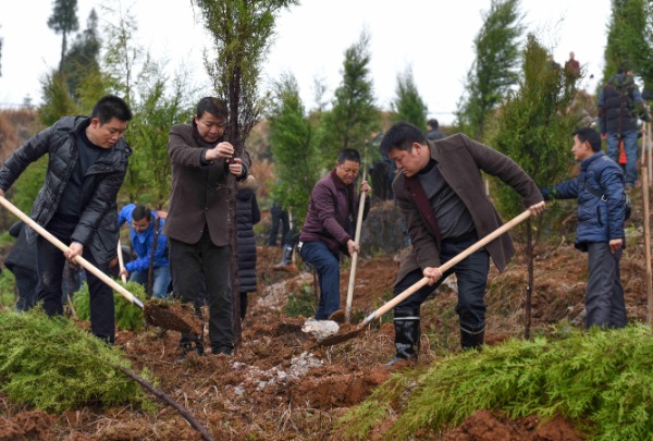
However, expanding forest cover is by no means a simple process.
To successfully make a barren mountain green, Li and his team have to analyze the soil conditions, assess its density and complexity and select suitable plants before drawing up a design plan to show contractors how to plant the saplings.
"It only succeeds if the survival rate surpasses 80 percent after three years," he says. "If not, we have to try again."
He adds they also have to prevent the spread of plant diseases and insect pests, assess fire risks and put measures in place to stop later deforestation.
"Improving forestry coverage is complicated work that requires joint effort from different departments," he says.
Besides, the karst topography of Guizhou - which has a high calcium carbonate content and soil of poor nutritional value - is a challenging environment for greening, and once the original forest is damaged, it takes multiple rounds of planting to repair it, according to Li.
Methods such as boosting the biodiversity of the surrounding environment, tightening regulations and employing the latest technology are being used to tackle these difficulties.
High-resolution satellite images and mobile internet systems are used to conduct real-time research and monitoring. These tools have significantly helped to prevent illegal operations being carried out in forests.
Han Dan, deputy director of the bureau's public welfare forest management center, says key information about forests, wetlands, sands and residential buildings can show up on the satellite images, which are updated once a year.