China confirms reception of data from Gaofen-5 satellite


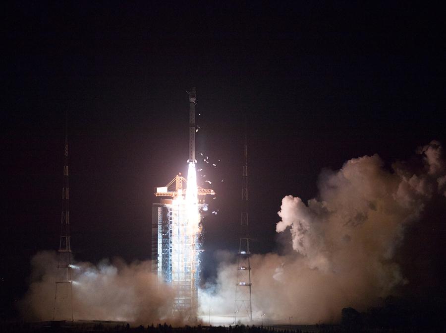
BEIJING - The Chinese Academy of Sciences confirmed that one of its institutes has successfully tracked and received the data from the recently launched Gaofen-5, a the hyperspectral imaging satellite.
The Institute of Remote Sensing and Digital Earth of CAS said researchers with the Remote Sensing Satellite Ground Station it runs received the first Gaofen-5 data from Miyun location on the outskirts of Beijing on May 13. The data size was 60GB and the time frame was nine minutes and 32 seconds.
The Gaofen-5 satellite was launched using a Long March 4C rocket at 2:28 am Beijing Time on May 9 from the Taiyuan Satellite Launch Center in northern Shanxi province.
Gaofen-5 will be used for comprehensive environmental monitoring.
The satellite can dynamically reflect the state of air pollution in China through the monitoring of air pollutants, greenhouse gases, and aerosols.


- Breakthrough in BMI tech aids patients
- Chinese technique for making ultrathin metal films named top 10 scientific breakthroughs
- Former senior political advisor of Sichuan sentenced to 14 years
- Beijing has undergone dramatic improvements since 2017's revamped development plans
- AI open alliance launched to pool resources for innovation and application
- China's ability to forecast floods boosted by holistic monitoring network