


A road trip across Tibet to Mount Everest in 2000


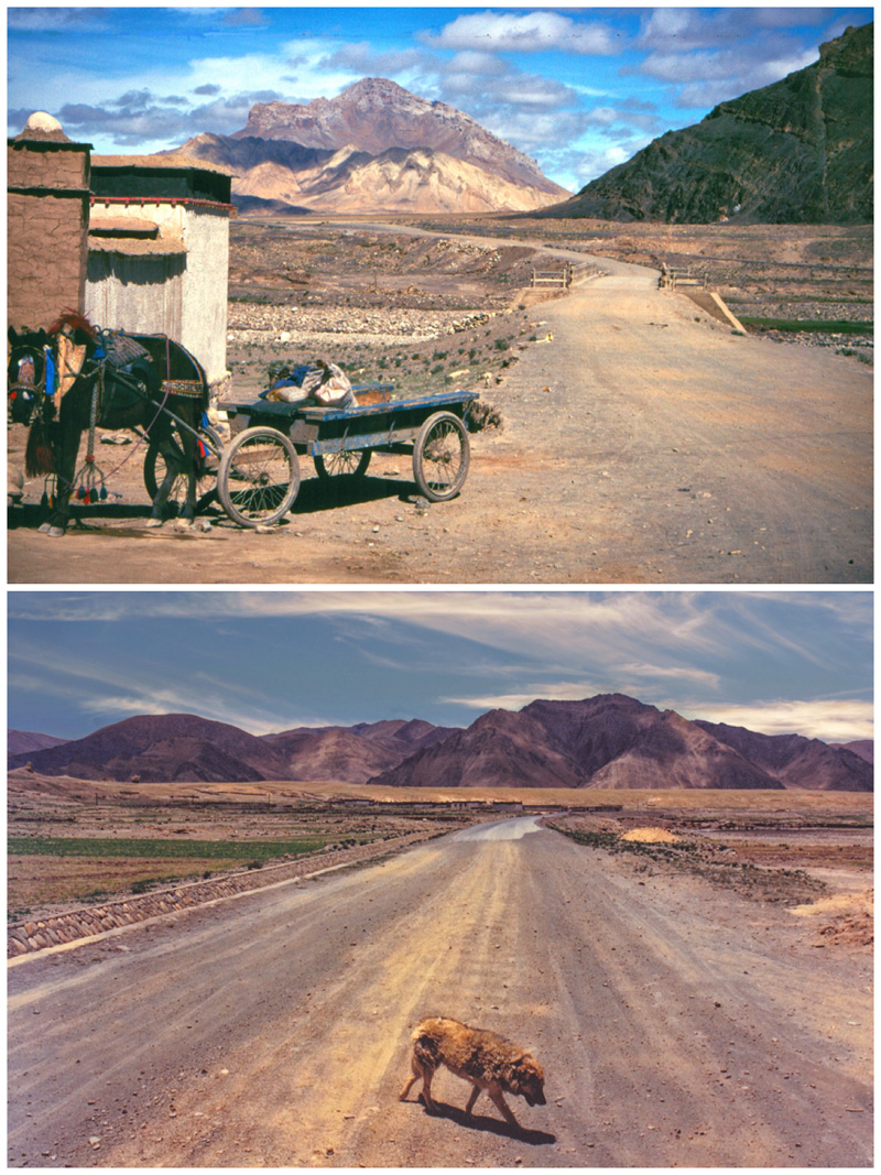
Initially my departure from Lhasa along G318 followed the road that had brought me a few days earlier from the airport. Nearing the Yarlung Tsangpo Bridge, we turned right for Xigaze. Initially the route followed a wide valley and the river braided into many channels, with sweeping views toward glacial mountain peaks and ridges. Villages sat near intensively cultivated, irrigated farmland. Then it started narrowing, with scenery becoming increasingly breathtaking. Settlements perched on any patches of level terrain available.
The road started along a ledge cut below almost vertical cliffs. High gullies were filled with long fingers of snow. Below the road, sheer drops reached the river that appeared to be cascading around huge rocks. Workers tirelessly cleared fallen boulders from roadside ditches. Flocks of sheep and goats also shared the road space, with drivers carefully edging past. Gradually the valley widened, and the river slowed, allowing flat-bottomed ferry boats to carry villagers across. Both road width and quality improved. Where bridges spanned river junctions, small restaurants and shops had opened, providing supplies for travelers. At intervals, pack horses gathered beside narrow trails leading to seemingly inaccessible villages.


