


Exploration and discovery at Yunnan's Erhai Lake


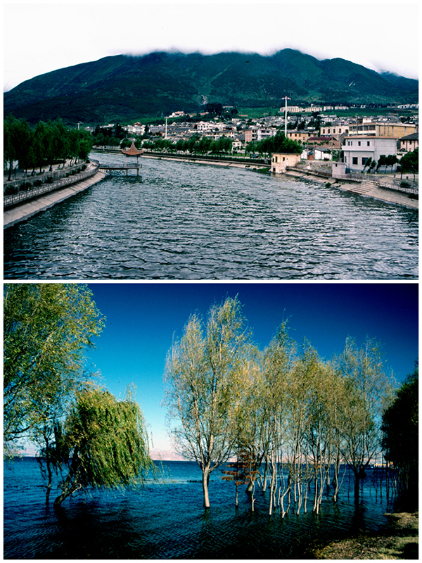
The physical beauty around Dali can be attributed to geological activity. Erhai, or "Ear-shaped Sea", stretches approximately 40 kilometers north to south. It is China's second largest highland lake after Dianchi, also in Yunnan. Erhai sits along a fault line with relatively shallow water spreading along the course of this line. Streams and rivers today gush down, feeding the lake with the melting snows and ice on Cangshan. The Miju and Mici rivers flow in from the north, along with the Bolou from the east. There is one outlet, the Yangbi, which leaves the lake at Xiaguan. In 1995 I stood on a bridge over its strong current, thinking of the water flowing west to join the Lancang, ultimately entering the sea through Vietnam's Mekong Delta.
Over several years with Dali as my base, I was able to explore much of the area surrounding the lake including villages, towns and islands. There was a tranquility about the area at that time that seduced me regularly into returning to its shores. Enchanted by the beauty, I would often sit for lengthy periods watching activities on both land and water.


