Discovering 'Xizang's little Switzerland'
Nyingchi's topography sculpts its unique natural and cultural appeal, Erik Nilsson reports.


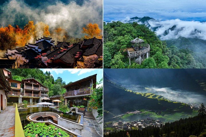
Nyingchi's alpines conjure an enchanting terrain that shapes its distinctive cultural landscape. The region is celebrated as "Xizang's little Switzerland".
Indeed, you'd be forgiven for thinking you were gazing upon the European nation's Alps, except the landscape is speckled with yaks, draped with prayer flags and studded with buildings constructed in ethnic Tibetan, Lhoba and Monba vernaculars.
The Yarlung Zangbo River, the world's highest waterway at around 4,800 meters, slices through the surrounding highlands to carve one of our planet's longest and deepest canyons.
Nyingchi's relatively clement weather compared with most of the Xizang autonomous region, which is otherwise hailed as the "planet's third pole", and its moderate altitude of around 3,000 meters, forge an eave of "the roof of the world".
These conditions have nurtured peculiar coniferous and pastural biomes that host a unique taxonomy of wildlife, including myriad rare species.
The Yarlung Zangbo Grand Canyon zigzags over 500 kilometers southward from Daduka village in Manling county to Baxika village in Metog county, slicing about 2,300 meters deep on average and over 6,000 meters at its most extreme plunge.