Chinese engineers make sci-fi drone mapping reality
By PENG CHAO in Chengdu |
chinadaily.com.cn |
Updated: 2025-03-13 16:41


Share


Share - WeChat


The drone features a spherical shell with a reinforced cage-like frame, allowing it to operate in high-risk environments such as municipal culverts and bridge-supported pipelines, the center said.
Equipped with the 3DAware™ flight control system, the drone utilizes simultaneous localization and mapping technology to generate real-time 3D models of its surroundings, the center said. The Dimension I also carries a specially designed 4D-Aware software for video replay and 3D model inspection.


- Zhangjiakou academy students hit Olympic ski slopes as winter break begins
- Chelsea legend Gianfranco Zola visits Chongqing fans
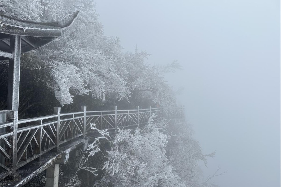
- Winter storm transforms Zhangjiajie's Tianmen Mountain into frosty wonderland
- Wuhan receives first snow of year, images go viral
- China steps up emergency response as temperatures drop sharply
- Shenzhen leads China's megacities in commuting efficiency