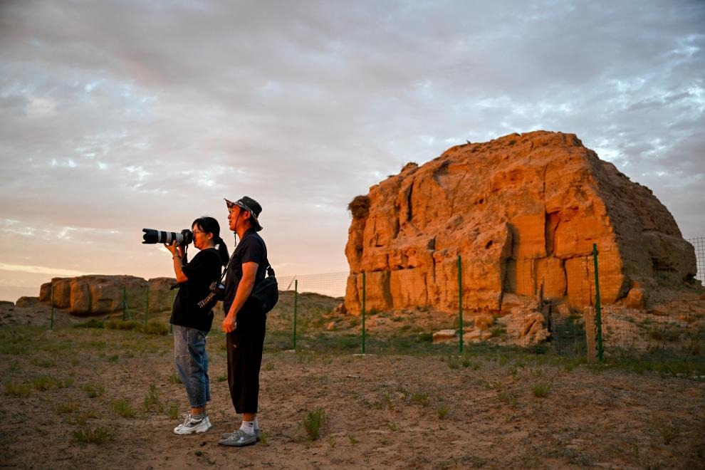
On-site surveys confirm program's success

For two weeks, Zhu Yanjun and her team walked from dawn till dusk, checking more than 40,000 trees across about 6,660 hectares in Alshaa Front Banner, Inner Mongolia autonomous region.
The 25-year-old, who works for the East China Forestry Survey and Planning Institution at the National Forestry and Grassland Administration, has conducted many on-site field checks.
"Counting trees in forests gives me a better idea of the planting project's success and allows me to see the contribution individuals can make to the environment," she said.
Meanwhile, Wu Yang, from the Qiansongba Forest Farm in Chengde, Hebei province, said the farm's annual field checks play a crucial role in afforestation efforts.
"When the survival rate in a section is lower than 80 percent, new seedlings are required to fill the gaps, and we only acknowledge success when the survival rate rises back above 80 percent," he said.
Afforestation projects invite forestry authorities or third-party organizations to conduct on-site tree counts to assess survival rates and the project's impact, and to provide essential data for management and other purposes, he said.
In addition to on-site checks, people counting trees across large areas have adopted several methods and technologies to monitor and estimate tree populations, such as aerial surveys and remote-sensing techniques. For example, in some regions, satellites have been used to observe and verify tree numbers.
Ant Forest, a mobile application launched by Ant Group, encourages users to adopt eco-friendly behaviors to reduce carbon emissions and earn virtual "green energy" points that can be converted into trees planted in designated areas.
Since 2016, more than 400 million trees have been planted via Ant Forest, half of them in Inner Mongolia, the group's data show. Third-party organizations like Zhu's team and GAGO Group, which provides support for the agricultural industry, use on-site visits and remote-sensing techniques to check tree numbers.
"Through the processed images, we can clearly observe the changes in the bare soil, where dots appear (indicating trees) that connect to become lines, then the lines extend to become networks," said Zhang Gong, GAGO's CEO. The difference made by these green networks is clear even when seen via satellite images, showing China's sustainable, scientific afforestation efforts and her contribution to improving the environment, he added.
In addition, on-site checks, satellites and other remote-sensing techniques are among the methods used in comprehensive monitoring programs for factors such as forest coverage and biodiversity. Much of the data collected can be accessed through a management platform launched by the National Forestry and Grassland Administration.
- Tianjin launches youth program to cultivate university talent for tech market
- Local farmers combat desertification in Moyu county of Xinjiang
- N China's Hohhot launches winter amusement programs to boost local economy
- Viral app bares 'safety anxiety' among solo dwellers
- Research suggests causes of moon's two different 'faces'
- AI software under lens for facilitating porn talk


