Glacier measuring experiment produces wealth of data for Chinese researchers


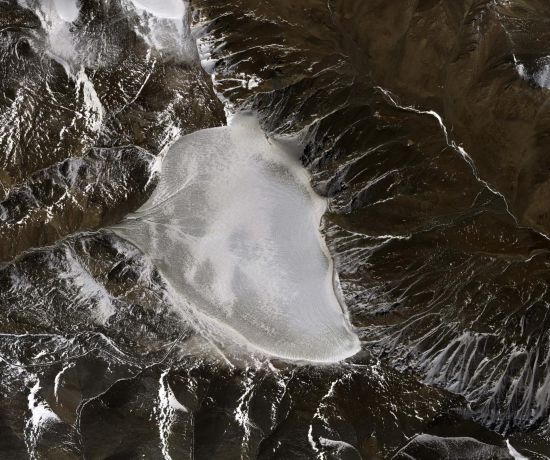
A Chinese aerial remote sensing system has been able to record data on mountain glaciers as the result of an ongoing combined detection experiment.
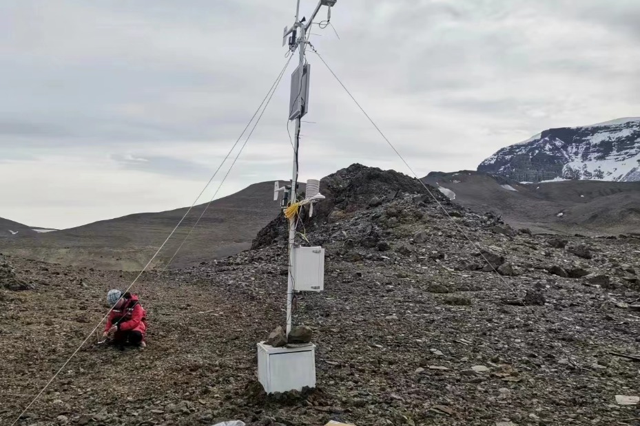
The Chinese Academy of Sciences and Wuhan University conducted a sky-ground experiment to test the state of glaciers in the Haibei Tibetan autonomous prefecture in Qinghai province.
The experiment involved the use of three bands of radar — P-band, L-band and Very High Frequency (VHF) — during a series of 11 flights, seven of which involved tomography (imaging by section, a little like a CT scan) and interferometric imaging (a technique that uses the interference of superimposed waves to extract information), while four conducted perspective imaging.
A total of 4.6 terabytes of usable data were obtained.
The experiment also involved visible light and lidar flight observations of the ice surfaces, the calibration of instruments used to analyze the surfaces, the measurement of glacier thickness using ground-penetrating radar, and extra-long visual distance three-dimensional cloud imaging.
The data show that a three-dimensional reconstruction can reflect the trends in glacier surface elevation and boundary lines between ice and atmosphere, as well as between glacier and bedrock.
Researchers used the data to target the location of an electrical anomaly artificially placed at a depth of 80 meters in an ice core borehole.
The experiment verified glacier characteristic observation techniques and tested the feasibility of the joint P-band, L-band and VHF experiment. It also obtained data that will be shared by the National Tibetan Plateau Data Center.
Wu Yirong, head of the CAS Aerospace Information Research Institute, acknowledged that the experiment's use of VHF radar was the first aerial glacier detection payload independently developed by the institute.
It was also the first time the domestically produced MA60 remote sensing aircraft has flown at altitudes above 4,500 meters in mountainous areas.
The experiment will be of great significance to the development of glacier detection technology in China, as well as to scientific research on global changes, said Gong Jianya, head of the School of Remote Sensing Information Engineering at Wuhan University. He said that it will provide an important reference for the scientific verification of civilian P-band synthetic aperture radar satellites.
Xinhua


- Student detained on suspicion of the death of his roommate
- Smart teaching system launched for international Chinese learning
- Shanghai prepares to open parks 24 hours a day
- Action taken over Chongqing Gas Group overcharging
- Xi: Crucial role for new PLA force
- Obesity, myopia growing issues among youth