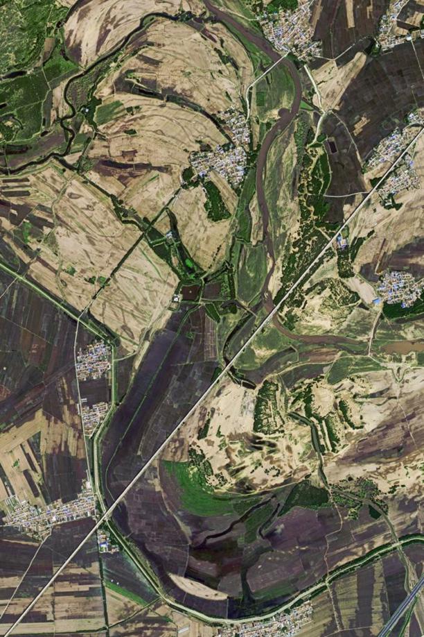
Jilin’s fields of grain seen from space


The satellite Jilin-1 recently sent back a series of images of fields in several grain-producing areas of Jilin province, showing beautiful scenery of crisscrossed high-standard farmland from space.
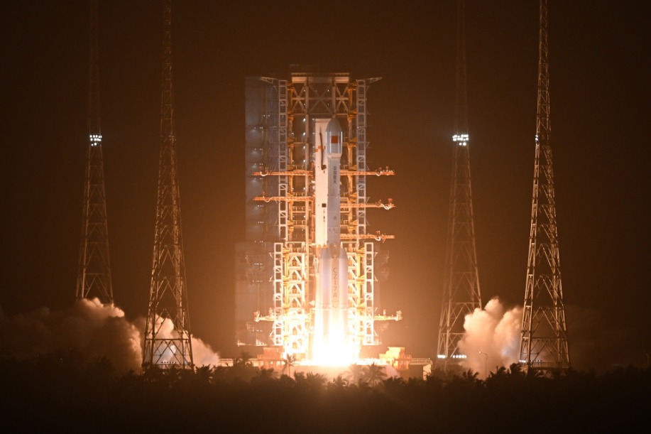
The Jilin-1 satellite family, developed by Changchun-based Changguang Satellite Technology Co, is China's first domestic remote-sensing satellite constellation for commercial purposes. It captures super high-definition images and helps with forest fire warnings, desertification, offshore rescue, ocean protection and other remote-sensing information services.
Jilin, located in the world's "golden rice belt" and "golden corn belt", is a major grain production base in China. Last year its grain harvest exceeded 40 million metric tons, with 5.67 million hectares under cultivation.