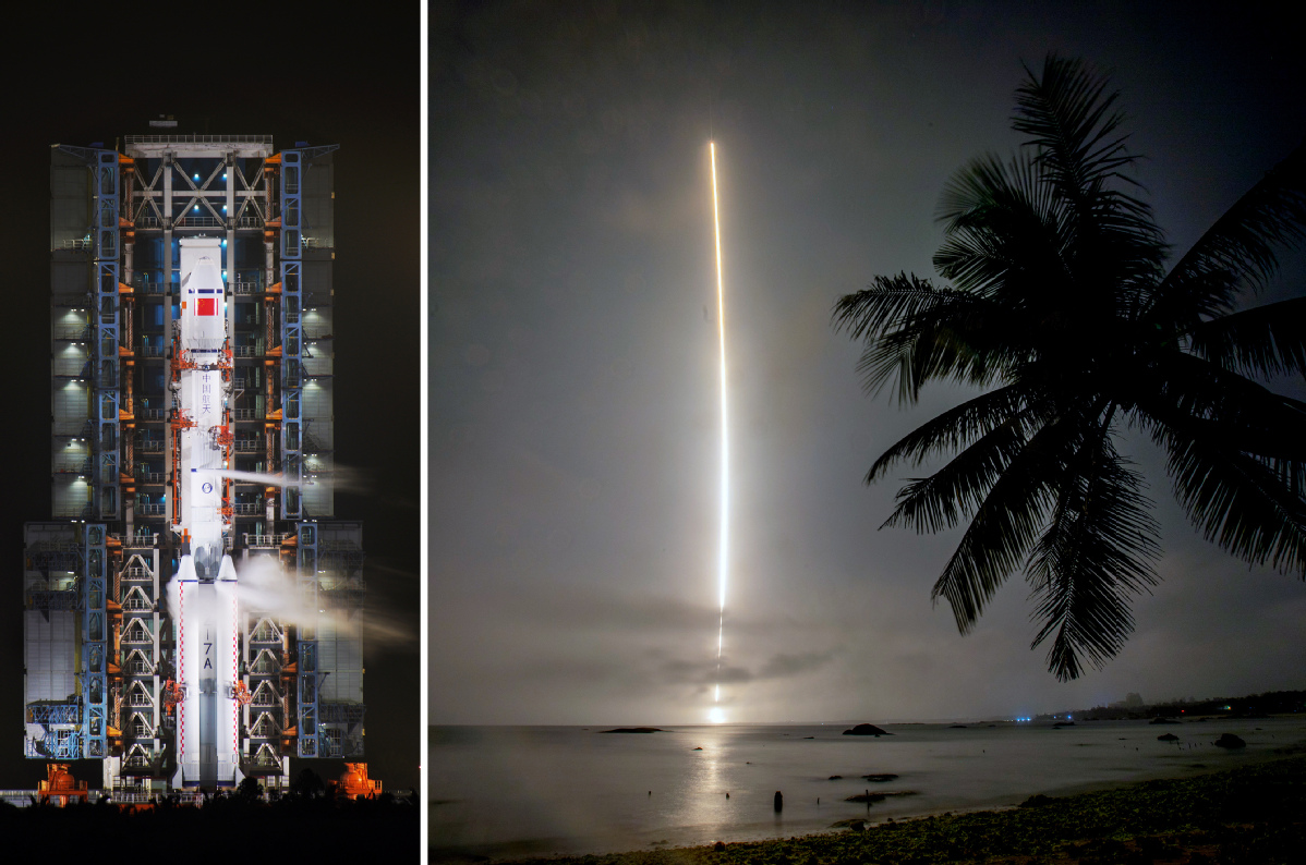
Four satellites planned to start space-based network


The southernmost province of Hainan plans to launch four satellites around the end of this year, thus beginning construction of the island's first space-based network, according to a project official.
Yang Tianliang, chief designer of the Hainan Earth-Observation Satellite Constellation System, said recently that four Hainan 1-series optical Earth-observation satellites have been assembled and are scheduled to be put into orbit by the second flight of the Long March 8 medium-lift carrier rocket from the Wenchang Space Launch Center in northeastern Hainan.
The Hainan 1-01 carries a wide-angle camera and will be responsible for identifying and monitoring mobile objects on the sea, especially ships. The Hainan 1-02 is equipped with a high-definition camera and will be tasked with observing ports, islands and ships. The Hainan 1-03 and Hainan 1-04 both use wide-angle cameras to map designated areas. The Long March 8 is the newest model in China's launch vehicle fleet. It made a successful debut flight in late December from Wenchang.
Each Hainan 1 spacecraft weighs 50 kilograms and will operate in a low-Earth orbit 500 kilometers above the ground with an orbiting speed of 28,440 km per hour, Yang said.
Each carries an automatic identification system that can receive identification signals-including position, course and speed data-sent by a moving ship. The device is usually mounted on ships and satellites, informing vessel operators of maritime conditions and enabling authorities to track and monitor vessel movements.
Yang said that in the coming two to three years, two more Hainan 1-series satellites, two Sanya 1 multispectral remote-sensing satellites and two Sansha 1 synthetic aperture radar satellites are expected to be sent into space to complete the Hainan Earth-Observation Satellite Constellation System.
"In addition to these spacecraft already included in our plan, we may also build and launch more satellites, especially those carrying synthetic aperture radar, in accordance with market demand," he said.
Yang is leading a group of designers and engineers in developing and producing these satellites, which are funded by the Hainan provincial government.
He said Hainan administers hundreds of islands and reefs in the South China Sea, so the province urgently needs the assistance of space-based assets to monitor these territories and surrounding waters.
A constellation of 10 satellites will be capable of monitoring all of the South China Sea in real time, thus helping China better safeguard its sovereignty, develop the region and deal with contingencies, he said.
Once the satellite network becomes fully operational, in the near future, Yang said, it will be helpful in a wide range of sectors such as marine transportation, fisheries, island management and maritime search and rescue.
- Chinese VP addresses dialogue on exchanges, mutual learning among civilizations
- China to crackdown on illegal, fake college entrance exam information
- China's housing policy drives poverty reduction, job growth: official
- China honors outstanding scientists in museum on Sci-tech Workers' Day
- Intl mayors praise Shanghai's development
- China sees 3.8% increase in inter-regional trips in Jan-April


