Observation satellite starts formal duties


Designed to assist in land surveying, Gaofen 7 begins serving ministries
China's best optical Earth-observation satellite for civil use has finished its in-orbit tests and started formal operation on Thursday.
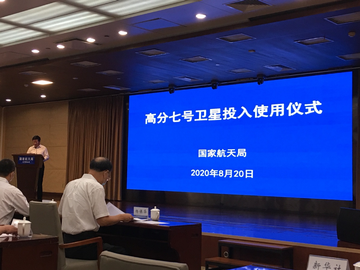
At a handover ceremony at the China National Space Administration on Thursday morning, designers of the Gaofen 7 announced that the satellite had begun serving its major users-the Ministry of Natural Resources, the Ministry of Housing and Urban-Rural Development and the National Bureau of Statistics.
Developed and built by the China Academy of Space Technology, the spacecraft is expected to play an important role in land surveying and mapping, urban and rural planning and statistical investigation, according to the space administration.
With a design life of eight years, the 2.7-metric-ton satellite was launched atop a Long March 4B carrier rocket from the Taiyuan Satellite Launch Center in Shanxi province in November and is operating at more than 500 kilometers above the ground.
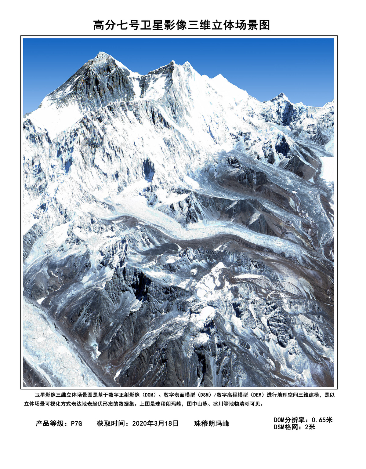
The satellite is equipped with two types of mission payloads-two line-scan cameras capable of taking 3D images of the Earth and a laser altimeter used to measure the height of objects on the ground.
It successfully went through a succession of tests over the past eight months, and has produced and sent back more than 106,000 images, the space administration said.
During its testing period, the satellite assisted in efforts to recalculate the height of Qomolangma-known as Mount Everest in the West, build temporary hospitals in Wuhan for COVID-19 patients and fight against the floods that ravaged many areas in China this summer, it noted.
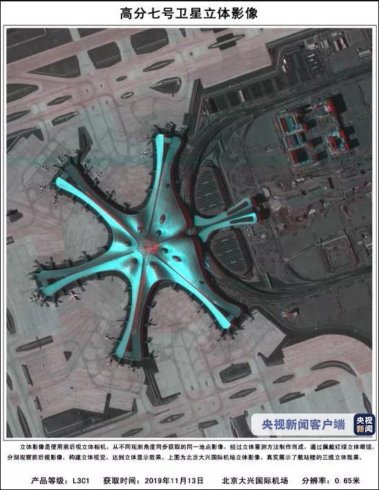
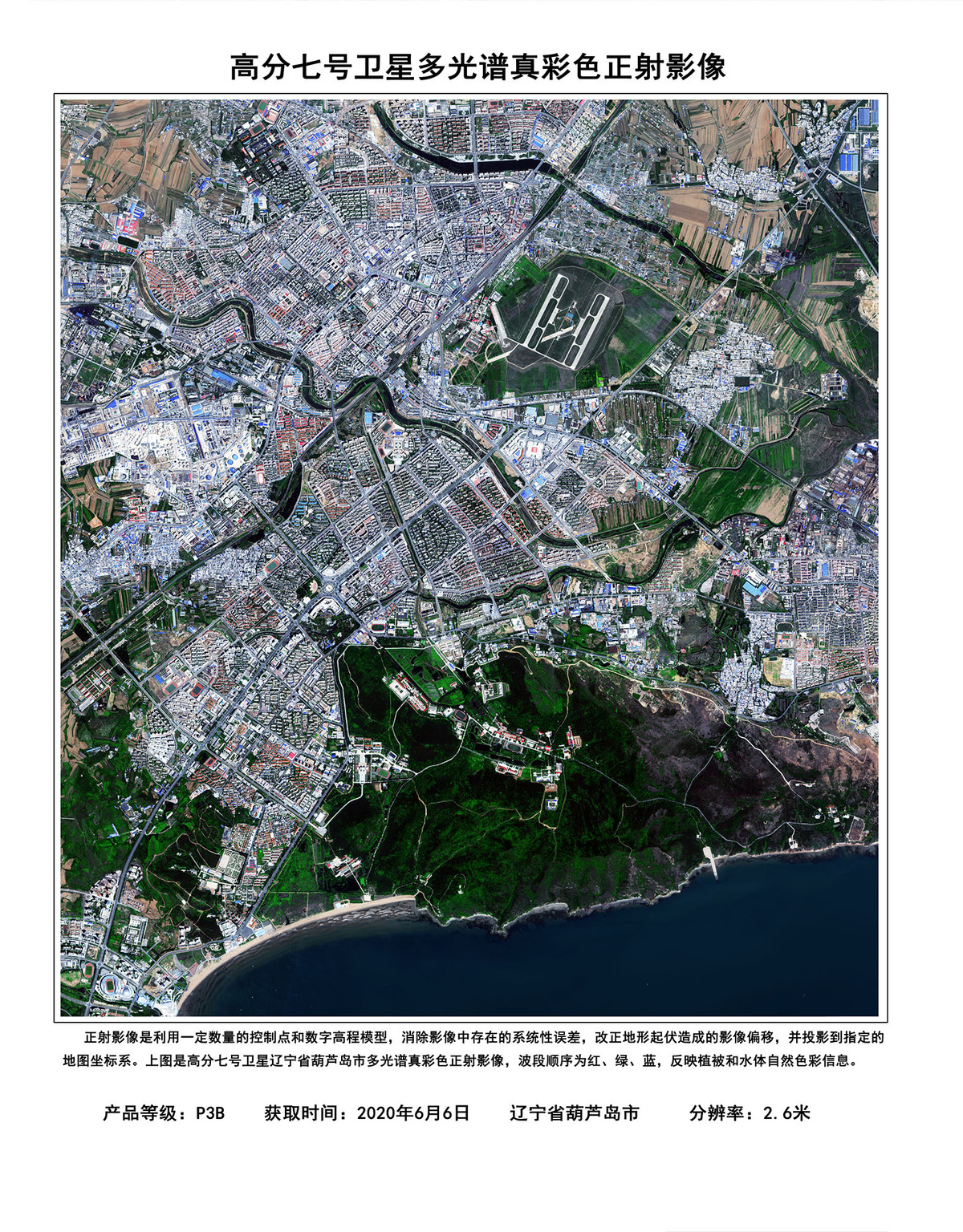
The administration has published some high-resolution images taken by Gaofen 7 of the Beijing Capital International Airport, the Beijing Daxing International Airport and some regions in China's Anhui, Guangdong and Shandong provinces, as well as some foreign areas. Airplanes, vehicles, buildings and trees can be seen clearly in the images.
China launched the Gaofen program in May 2010 and listed it as one of the 16 national key projects in science and technology. The program aims to form a space-based, high-resolution Earth observation network by 2020. So far, more than 10 Gaofen satellites have been launched, and all of them are in active service.
Images and data from the Gaofen satellites have been widely used in more than 20 industries across China and have helped reduce the country's dependence on foreign remote-sensing products.
Zhang Kejian, director of the space administration, said at Thursday's ceremony that his administration will continue fostering the applications of Gaofen products in more industries.
The space administration has opened a website to give users around the world access to images and data generated by Gaofen satellites.


- Academician Ji Xunming named president and deputy Party secretary
- 19 punished for role in medical admission case
- US' whitewashing of Japan's aggression and war crimes criticized
- ILO China conducts training on post-earthquake recovery in Myanmar
- China's State Council appoints, removes officials
- Exhibition on CPC's crucial role in war against Japanese aggression opens