Quake-hit Jiuzhaigou's water environment restoring: remote sensing study


BEIJING -- A remote sensing study shows that the water environment of the Jiuzhaigou scenic spot in southwest China's Sichuan province has started to rehabilitate after being hit by an earthquake, according to the Chinese Academy of Sciences (CAS).
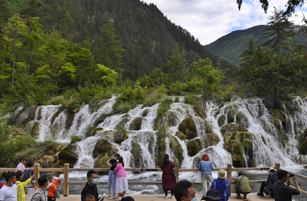
Jiuzhaigou National Park, a UNESCO World Heritage site famous for its spectacular waterfalls, lush forests and serene plateau lakes, was hit by a 7.0-magnitude quake on Aug 8, 2017.
Researchers from the Aerospace Information Research Institute under the CAS and UNESCO's International Center on Space Technologies for Natural and Cultural Heritage (HIST) conducted remote sensing monitoring and field scientific investigations to evaluate topography, bodies of water and vegetation in Jiuzhaigou after three years of restoration and reconstruction.
Results revealed that the water environment in the core area of Jiuzhaigou is gradually recovering. Remote sensing images on June 3 showed that the water in Jiuzhaigou reached more than 220 hectares. At the same time, it is still necessary to guard against geological disasters such as landslides and mudslides.
The team also used three-dimensional lidar scanning and unmanned aerial vehicle survey technologies to evaluate the environment in Jiuzhaigou, providing scientific data and technical support for disaster prevention and ecological restoration in the area.


- China launches communication technology test satellite
- Spokesperson warns against aggression toward mainland fisherman
- Lhasa wetland reserve recognized as world's highest altitude wetland
- Chengdu woman sentenced for fatally stabbing neighbor
- Mainland coast guard's patrol in Xiamen-Kinmen waters to safeguard maritime order: spokesperson
- Independent committee starts work as HK moves to liquefy owners' group