China releases 30-meter-resolution global forest cover map
Xinhua |
Updated: 2019-11-20 15:27


Share


Share - WeChat


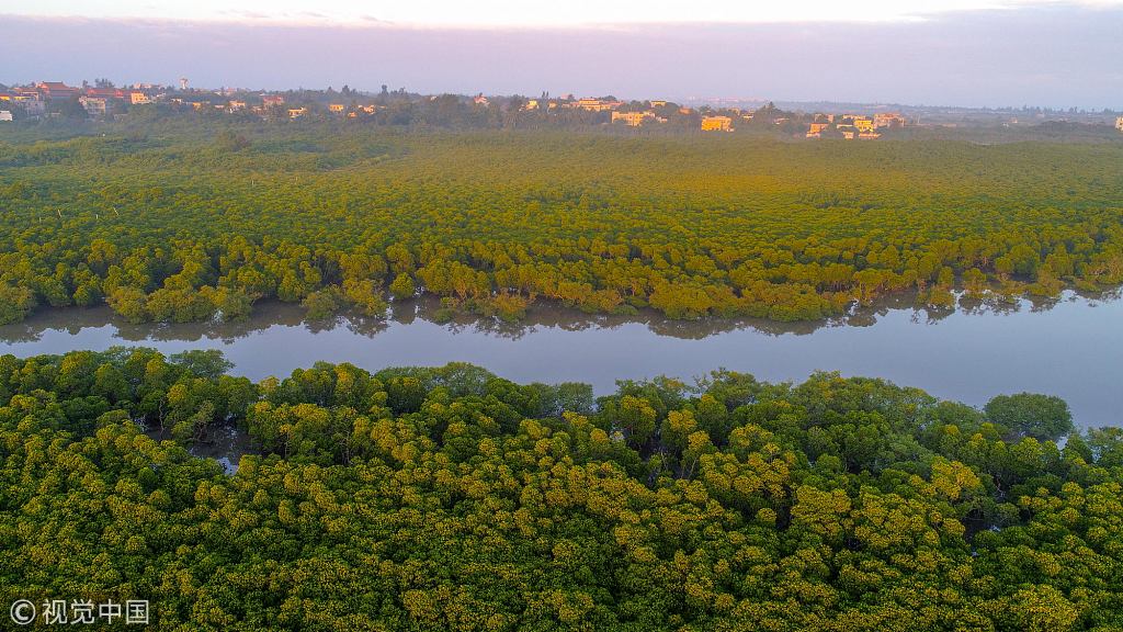
BEIJING - China has achieved a 30-meter-resolution Global Forest Cover Map (GFCM) of 2018 for forest management, according to the Aerospace Information Research Institute of the Chinese Academy of Sciences on Wednesday.
The researchers constructed a high-resolution forest and non-forest sample database based on satellite remote sensing data. They realized automatic information extraction of global forest cover by using machine learning and big data analysis.
The overall accuracy of the GFCM is higher than 90 percent, verified by random sampling on a global scale.
The GFCM can provide data support for forest management and utilization, as well as cope with global change.


- Macao thrives as collaboration deepens
- Beijing reiterates strong opposition to US arms sales to Taiwan
- Attack in Taipei injures 9, including 4 in critical condition: local media
- Ministry to launch month-long program aimed at promoting youth employment
- National health body asks consumers to read nutritional information on food labels
- China's top cyberspace regulator launches drive against capital market misinformation