


Silk Roads: the Routes Network of Chang'an-Tianshan Corridor


Category of site: Cultural Site
Brief introduction
Stretching from Luoyang, the central capital of China in the Han and Tang dynasties, to the Zhetysu region of Central Asia, it is a 5,000 km section of the extensive Silk Roads network. Built between the 2nd century BC and 1st century AD, it remained in use until the 16th century, which linked the ancient societies of Asia, the South Asia, Central Asia, Western Asia and the Near East and facilitated far-reaching exchanges of activities in trade, religious beliefs, scientific knowledge, technological innovation, cultural practices and the arts, contributing to the development of many of the world's great civilizations. The Silk Road network consists of 33 components including capital cities and palace complexes of various empires and Khan Kingdoms, trading settlements, Buddhist cave temples, ancient paths, posthouses, passes, beacon towers, sections of The Great Wall, fortifications, tombs and religious buildings.
History
The main function of these routes was to transfer raw materials, foodstuffs, and luxury goods. Some areas monopolized on certain materials or goods, especially China, supplying Central Asia, the South Asia, West Asia and the Mediterranean world with silk. Many of the high value trade goods had to be transported by pack animals and river craft, or probably by a string of different merchants over vast distances.
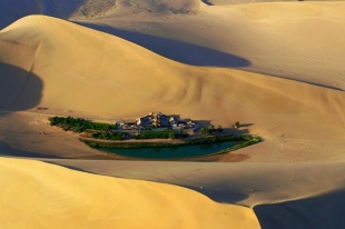
The long distance trade caused many challenges due to extremes of geography along the routes. Falling to 154 meters below sea level and rising to 7,400 meters above sea level, the routes pass great rivers, alpine lakes, crusty salt flats, vast deserts, snow-capped mountains and 'fecund' prairies. The climate differs from extreme drought to semi-humid. Vegetation spreads over temperate forests, temperate deserts, temperate steppes, alpine steppes and oases.
Cultural heritage
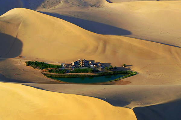
The routes of the Tianshan corridor began from the Loess plateau at Chang'an, the central capital of China in the Han and Tang dynasties, and passed westwards through the Hosi Corridor across the Qin and Qilian Mountains to the Yumen Pass of Dunhuang. From Hami, they continued along the northern and southern flanks of the Tianshan Mountain and then through passes to reach the Ili, Chuy and Talas valleys in the Zhetysu Region of Central Asia, which linked two of the great power centers that drove the Silk Roads trade.
The vastness of the continental routes networks, the ultra-long duration of use, the diversity of heritage remains and their dynamic interlinks, the richness of the cultural exchange they facilitated, the varied geographical environments they connected and crossed, clearly reflects the extensive interaction within various cultural regions, in particular the nomadic steppe and settled agrarian/oasis/pastoral civilizations on the Eurasian continent between the 2nd century BC and the 16th century AD.
These interaction and influences could be found in architecture and city planning, religions and beliefs, urban culture and habitation, merchandise trade and interethnic relations in all regions along the routes. The Silk Road creates the broadest and most long-lasting interchange among civilizations and cultures, which can be best demonstrated by the Tianshan corridor.