Premier backs UN mapping efforts for global development


The Chinese government will always actively participate in and support international cooperation in surveying and mapping worldwide to promote sustainable global development, Premier Li Keqiang said on Monday.
Hailing the UN's role in coordinating and managing the process, Li said geospatial information is playing an important role in today's economic and social development, with technologies in the field deeply integrating with new-generation technologies such as mobile internet, big data and cloud computing, and adding momentum for the development of new business formats and applications.
Li made the remarks in a letter of congratulations to the United Nations World Geospatial Information Congress, which kicked off on Monday in Deqing, Zhejiang province.
UN Secretary-General Antonio Guterres expressed his congratulations to the congress in a video.
The congress, hosted by the UN and organized by the Ministry of Natural Resources and the Zhejiang provincial government, serves as a platform to discuss the newest development trends in surveying and mapping, and the ways to better support the UN's 2030 Agenda for Sustainable Development.
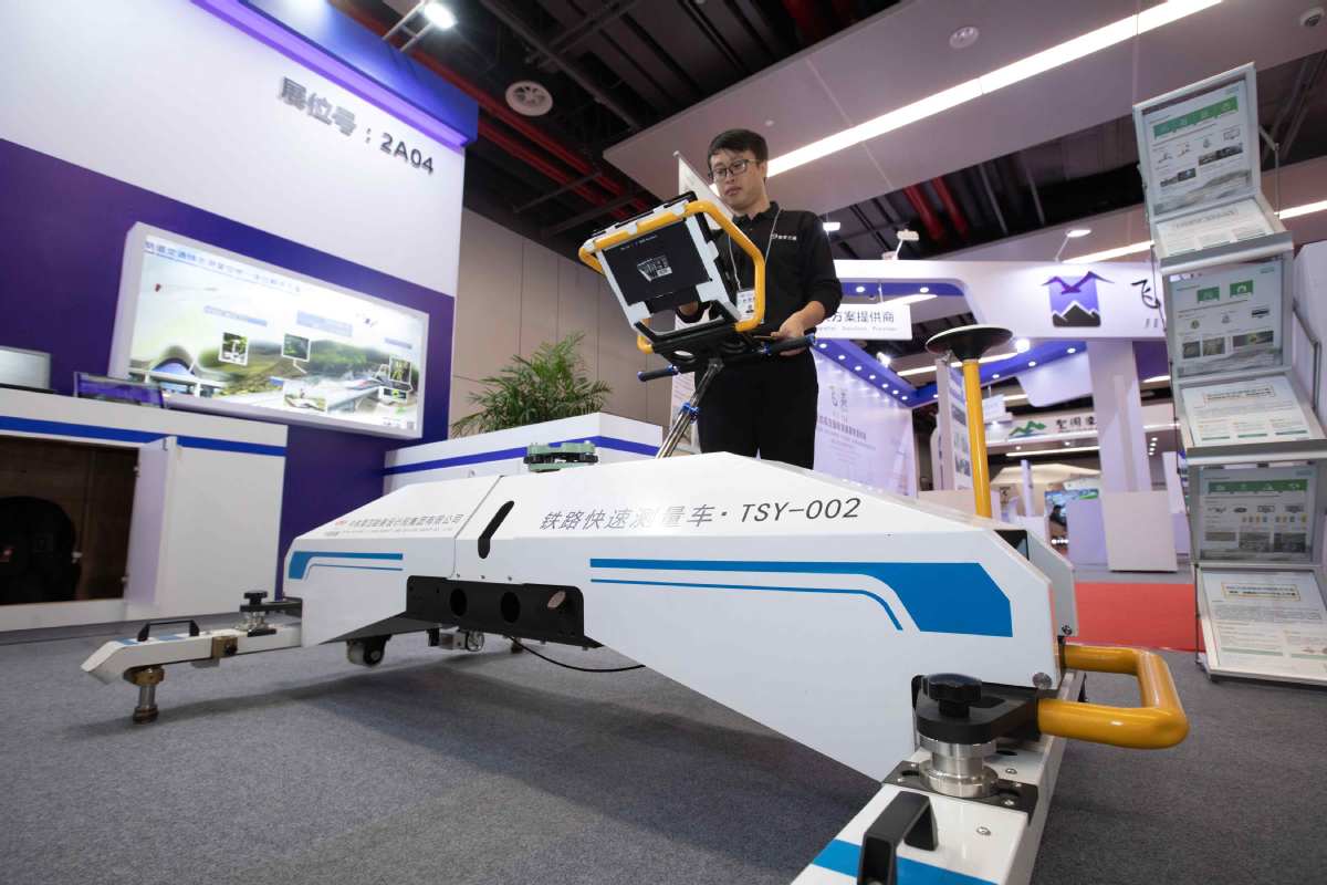
The event, held from Monday to Wednesday, drew more than 1,000 participants from more than 100 countries and regions in specialties related to the geospatial information sector.
"International cooperation on geospatial information is a new thing in the UN, and so far the digital gap between different countries in this area remains large," said Liu Zhenmin, UN undersecretary-general for economic and social affairs.
He added that the congress is a notable milestone in international cooperation and has been elevated to an inter-governmental level from the professional level, helping serve and implement the goals of global sustainable development.
"Geospatial information will play a vital role in reaching the goals of the UN's 2030 Agenda for Sustainable Development. In Saudi Arabia, now we are working very hard to have updated geospatial information - to maintain and update our database, so that our monitoring and controlling will be accurate and valuable," said Bandar Al-Muslmani, vice-president of the General Commission for Survey in Saudi Arabia.
During an industrial and commercial summit held after the opening ceremony, 63 projects were signed, among which were 39 geospatial information projects and 24 integrated ones related to the geospatial information sector.


- China holds central rural work conference
- Theme poster on military drills 'Justice Hammer, Blockade and Disruption'
- President Xi to deliver New Year's message to ring in 2026
- Various activities held across China to celebrate upcoming new year
- Postal and delivery services now cover all rural areas in Xizang
- Top judiciary fortifies public interest litigation