China launches high resolution earth observation satellites


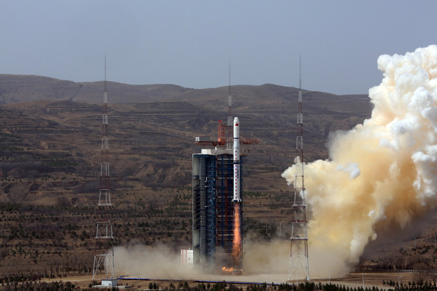
TAIYUAN -- China on Saturday launched three Gaofen-1 imaging satellites as part of the country's high-definition earth observation project.
The satellites was launched off on the back of a Long March 4C rocket at 11:22 am Beijing time from the Taiyuan Satellite Launch Center in northern Shanxi province. It was the 270th flight mission by a Long March carrier rocket.
As high resolution imaging satellites that are accurate to two meters in distance, they will be used for fields including disaster warning, ecological protection, infrastructure construction, transportation and emergency response.
The satellites, designed by China Spacesat, have a lifespan of six years.
They will work together with another previously launched Gaofen-1 satellite.
Since the inception of the Gaofen project in 2013, China has had an increasingly clearer view of the planet.